For several years I’ve wanted to run a traverse of Great Smoky Mountains National Park. The Appalachian Trail, (AT), bisects the park and creates a footpath which follows the North Carolina / Tennessee border along the high ridges of the range. The 72 mile route runs from the park’s southwest corner to or from the northeast corner depending on direction of travel, and only has one road crossing near the 41 mile point.
The following is a description of the SCAR route from Peter Bakwin’s Fastest Known Time website, (http://fastestknowntime.proboards.com/thread/128/scar-tn-nc) which tracks speed records across the country.
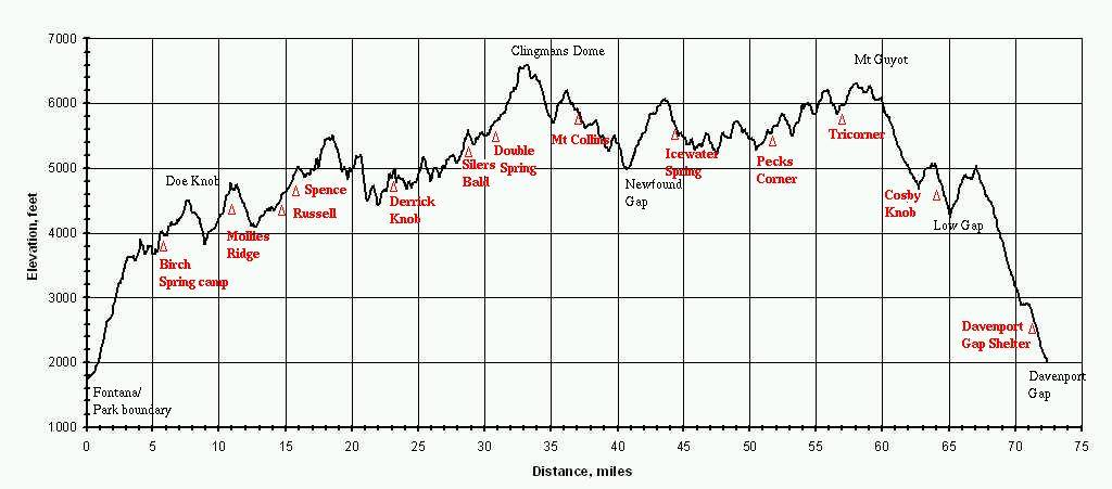
The Smokies Challenge Adventure Run (SCAR) is an unofficial 70+ mile traverse of the Great Smoky Mountains National Park along the Appalachian Trail, starting at Fontana Dam and going to Davenport Gap. The total elevation gain is 18,660', 12,800' in first 40 miles and 5860' in last 30 miles. On course aid and bail-out is only possible at 40 miles at Newfound Gap Road, and maybe not even there. All food and gear must be carried and water must be pulled from streams. The trail is technical, and there are a lot of steep climbs and descents all on singletrack.
This route rivals even the most mountainous ultramarathons in elevation gain. During the first 50 miles the elevation climbed per mile averages approximately 300’ per mile. Colorado's Hardrock 100 for instance, has 330’/mile. Virginia’s Grindstone 100 has 240’/mile. California’s Western States Endurance Run has 180’/mile. For non-runners, this means that for every mile you run, you must climb the equivalent of a 30 story building.
The course is challenging not only due to the elevation gain, but also because of the lack of road crossing to get support or water. Runners must descend from the actual route/trail and add in off-route mileage to find springs from which to pull water, then they must climb back up to the route/trail which straddles the highest ridge of the Smokies crest and proceed on their way.
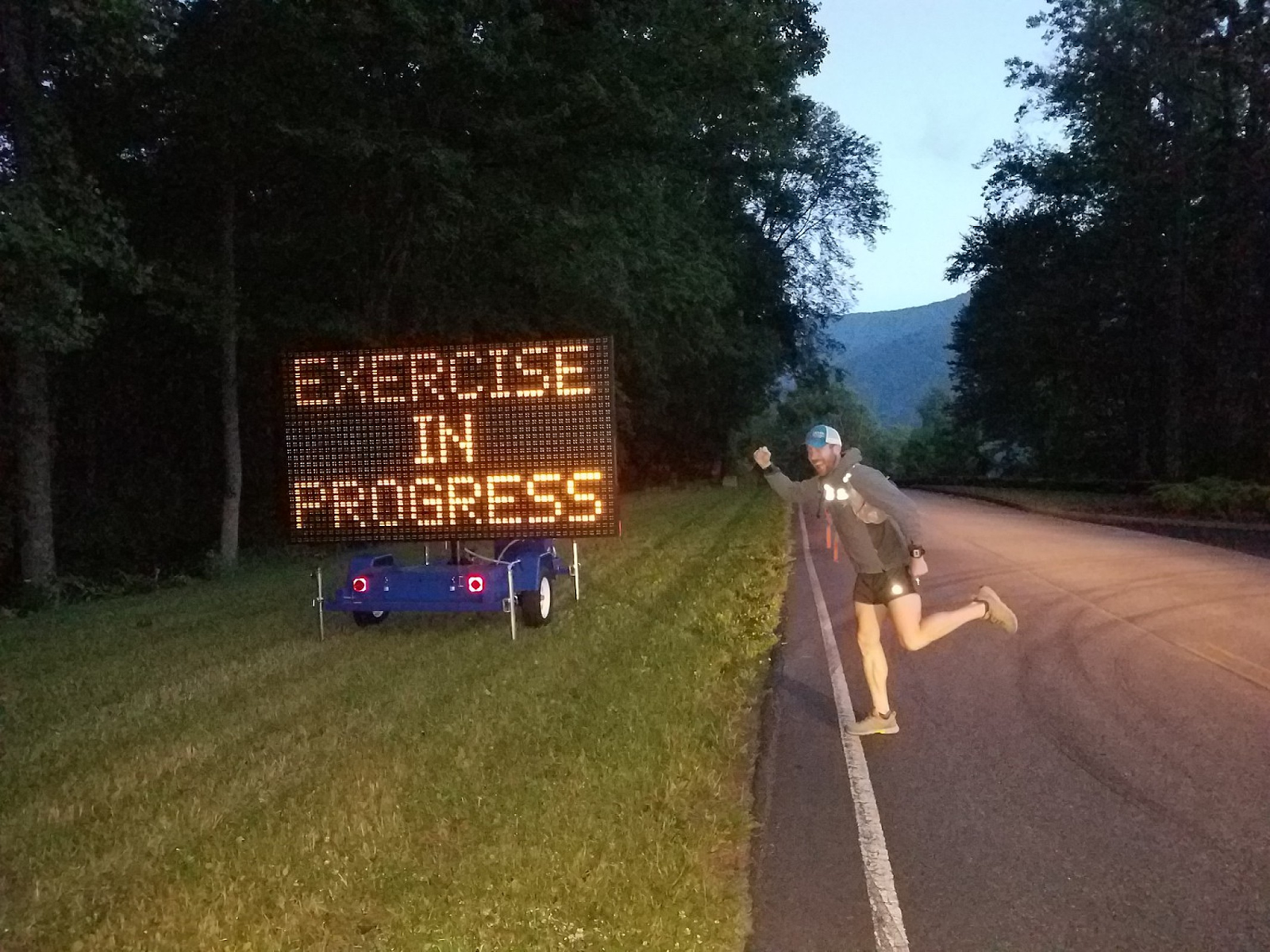
I started at Fontana Dam at 6:00am sharp and the sun provided just enough light to run without the aid of headlamp. If my plan went according to schedule, I would finish before 8:50pm and not need a headlamp for the duration of the venture. The current speed record, or, Fastest Known Time (FKT) is held by David Worth at a time of 14 hours and 50 minutes, hence the 8:50pm finish time goal.
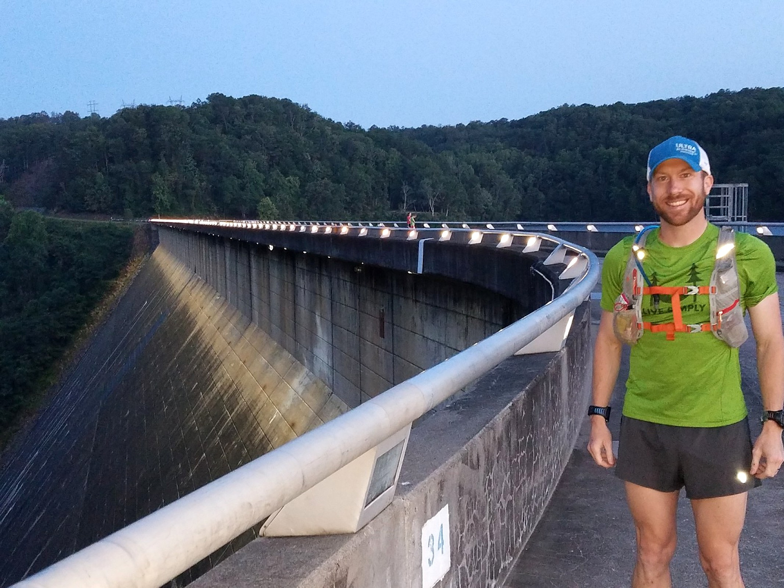
The route technically begins (or ends depending on direction of travel) at the south end of the Fontana Dam.
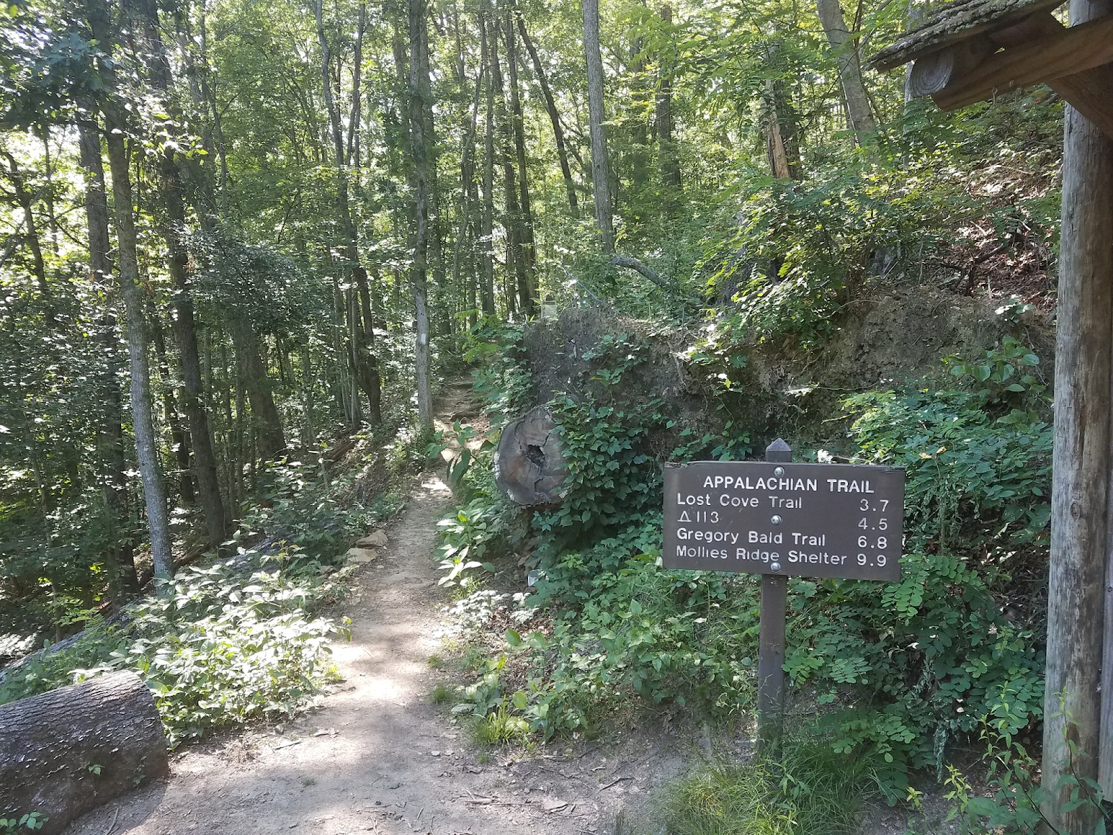
A one mile road run after the dam leads the way to the geographical border of the park, and the up the mountainside to the trail-head, where the real climbing begins.
I paced myself on the first ascent and didn’t worry about speed. My main focus was to set the rhythm of the day and make sure I kept a disciplined intake of nutrition every 20 or 30 minutes. Adequate hydration was also an important variable to success since temps started off warm and the high was forecast to be in the upper 80’s. Water availability was not only scarce, but time consuming to acquire. I reached Mollies Ridge shelter 11 miles in, a little over 2 hours into the run which was a tad bit faster than record pace. I put that out of mind… It was however nice to know I had a small buffer, especially since I knew the tail end of the run contained nearly 14 miles of downhill. My legs and energy didn’t feel 100% but I was enjoying a day in the mountains and what the body lacked, the mind eagerly made up for in the early miles.
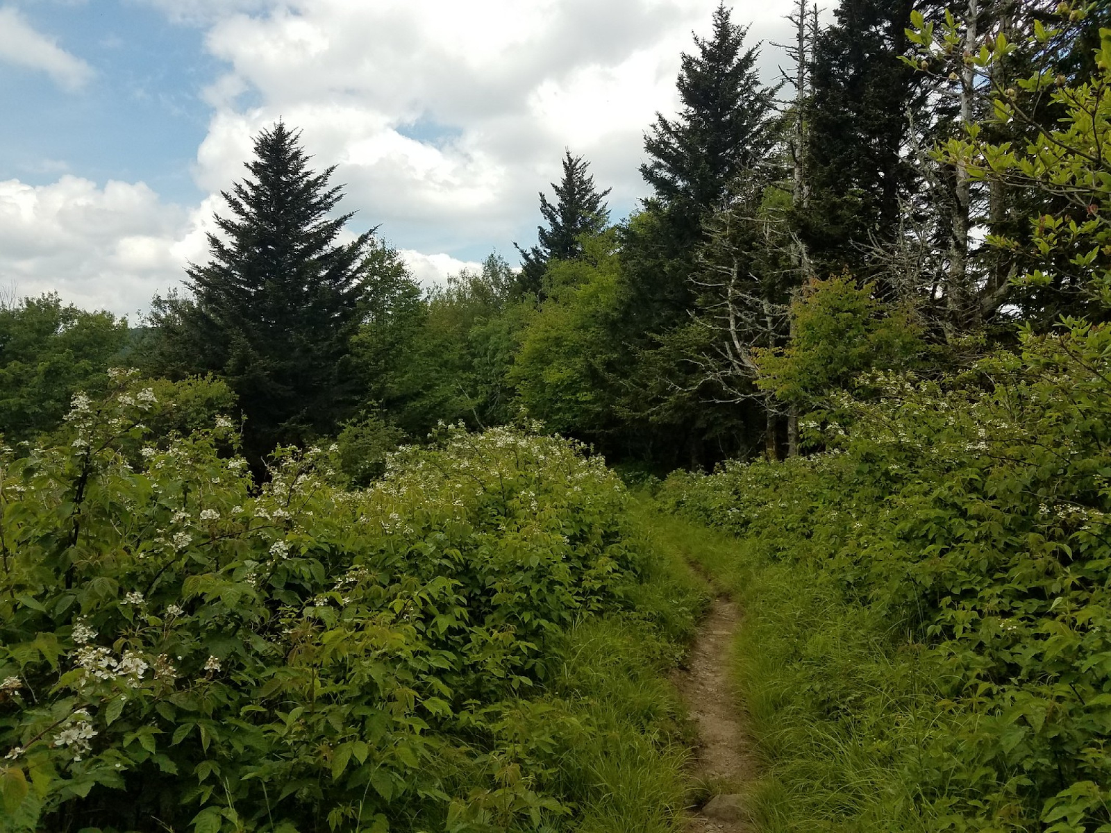
The climbing didn’t abate after Mollies Ridge. I assumed the grade would lessen from steep to rolling once on the crest but it never did. The occasional downhills were really nice to stretch out the legs, but they were steep and rocky. Running down the descents at full speed was mildly sketchy. I almost fell a few times and constantly had to balance beating up my legs with the free speed the gravity afforded. While thru-hiking the AT, I remembered a lot of smaller ups and downs of the Smokies, and my memory served me correctly. The climbs weren’t particularly huge. They were just relentless and incessant. 500’ here, 1000’ there… it adds up! I tried to force a slow run on the milder grades and allowed power-hiking occasionally on the steepest grades.
I got water at AT shelters that were close to the trail. They typically had springs that I was already familiar with from previous ventures and I knew they were only .2 miles downhill usually. They all flowed well and got me what I needed! To save time I didn’t bring a filter and instead I used tablets to purify my water. The downside of this meant that I didn’t get to drink for 30 minutes after I refilled my 1.5 liter water bladder while the tablets worked their magic. It was worth it to not have to pump or treat the water in more time consuming methods.
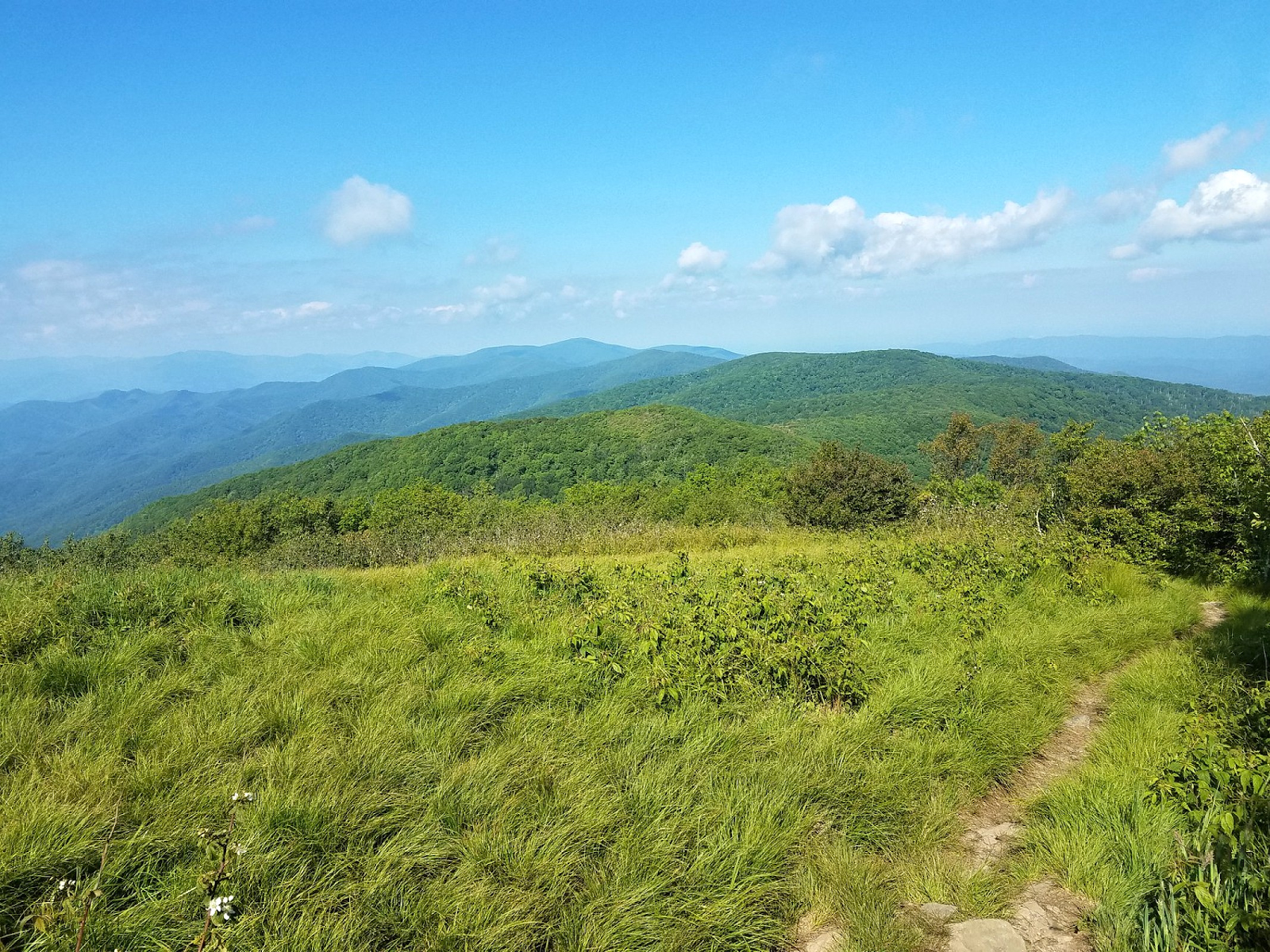
The run over Thunderhead Mountain was as beautiful as it always is…
I should’ve refilled water at Double Spring shelter prior to climbing Clingmans Dome. I ran out of water on the climb. I hadn’t planned on getting water at Clingmans dome as it meant a 0.5 mile steep descent to the trail parking lot, and then a return to the trail via a paved path to the summit. I called my crew and notified them of my trail plan change. In David’s FKT report, he mentioned that he saw his crew at Clingmans as well. I’m not sure if he took the bypass trail or the paved path both ways. Semantics maybe, but I didn't want to skip anything. I told Stephanie, (my crew), I wasn’t excited about this add-on in mileage but I was going to do it because I needed water, and I was ready for a long day in the mountains. She was having car problems however and she couldn’t make it to Clingmans to get me water. When I reached the main parking area, there was no water, only large crowds and hot exposed sun.
The Clingmans Dome debacle added about 20 minutes of wasted time, and I still had no water. After getting back on the trail I eventually found water at a glorious raging trail-side spring. I should have treated it first, but I just filled up and guzzled! I then treated the remainder. It was deliciously crystal clear, cold and refreshing and as far as untreated water goes, this was as safe as it gets. Low risk.
In the descent of Clingmans Dome, my legs and body felt like they had more than 42 miles on them but I was really excited for the remainder of the journey. I was enjoying a bluebird day in the mountains. The climbing was taking a toll, but I was still on pace, and after a big climb out of Newfound Gap, I could then cruise more downhill stretches, and my downhill legs felt rock solid.
That wouldn’t happen though.
Upon reaching Newfound Gap a situation unfolded. I learned Stephanie’s car had blown the turbo. The check engine light was on and she barely made it to Newfound Gap. She’d press the gas, the engine would rev… but nothing. No power to the wheels. Cars climbing the road behind her grew impatient. Stephanie tried her hardest while waiting for me at Newfound Gap to find a vehicle to meet me at the finish, she even offered to get a taxi or an Uber. I informed her this was greatly appreciated but unrealistic, if not impossible. We weren’t in a large metropolitan area. The AT leaves the park and the route finished at a VERY obscure location without cell service in the middle of nowhere on a mountain road. I didn’t know my exact finishing time. I didn’t want to bank on these unknowns, and even if these things were possible, I definitely wasn’t going to leave my crew stranded while I went for a run! We had to find a way to get her car to a shop and get ourselves to a rental car center which wasn’t closed on a Saturday. How the hell were we going to get home?!
We made it to the Knoxville airport after some masterful logistical finagling and got a car. En route to the airport Hilton I tried to balance the mild taste of defeat, with the feeling of success that came with just showing up and making the attempt at all. It was a great run overall and a good learning experience for next time around. I made plans for this run to include backups and safeties, but with no car it was just futile. Her car is pretty new with only 40k miles, so no regrets on my part. It was just unforeseen...but so goes life! It was a rewarding long day in the mountains, in which I attempted a daunting run. It was topped off with a salmon dinner and a cold beer at the Hilton. Not too bad a day really.
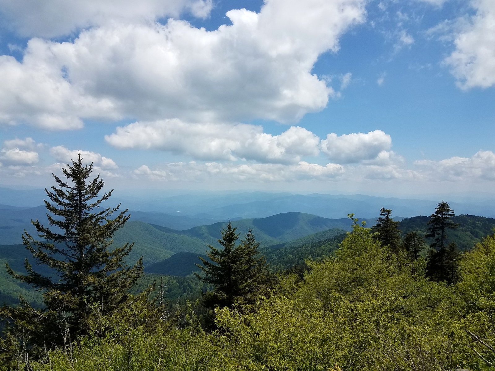
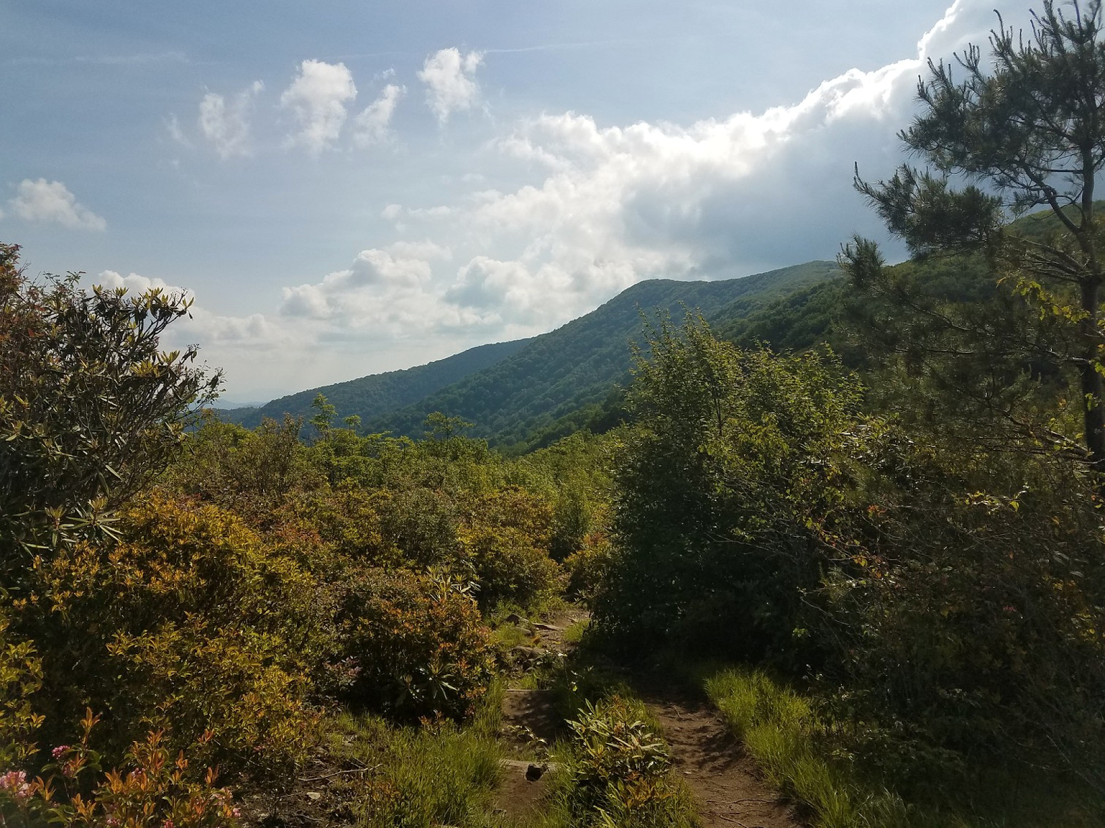
Below are a few additional pictures...
 Thunderhead Mountain.
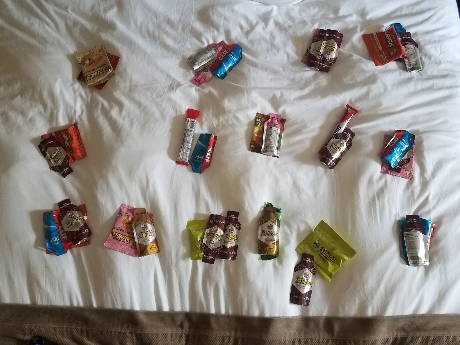 15 Hours of fuel!
 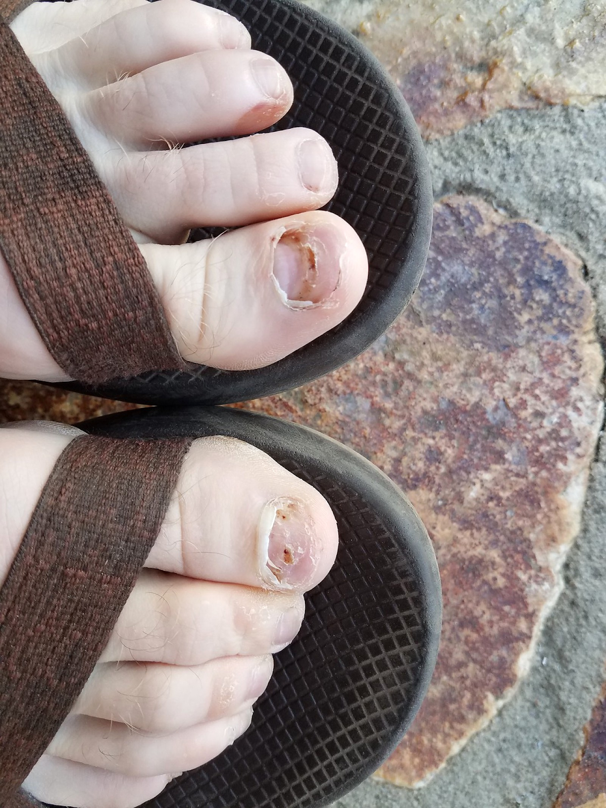 How nice of my toenails to fall off the day before the run! No worries about nail-bed pain!